How to plan a motorcycle ride, step by step
Daily distance, road type, stops, fuel and weather: the steps for building a motorcycle ride before you leave.
Where to ride, when a pass is open and how to build the trip. Figures come from official sources and from the app’s own data; anything we could not verify is left out.
Daily distance, road type, stops, fuel and weather: the steps for building a motorcycle ride before you leave.
Ten pass roads compared: height, usual open months, tolls and riding notes for Iseran, Stelvio, Galibier, Gavia, Großglockner and others.
The loop from Andermatt in order: Susten, Grimsel and Furka with heights, season and the stops along the way.
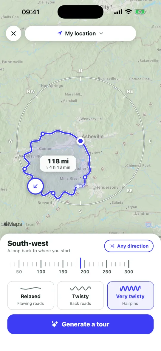
In Motoseyir a trip starts with a start and an end point, and you place the stops in between yourself. Add a stop from the search box or by long-pressing an empty spot on the map, so even a place without a name can be a stop. Reorder the stops however you like.
The app plans by distance rather than time. Route calculation and navigation are free and unlimited in Turkey, Europe and the US, and you do not need an account.
If you want a starting point, ready-made routes are in the Legendary tab: tap one and its stops are copied into your trips, ready to edit.