Luschasattel by motorcycle
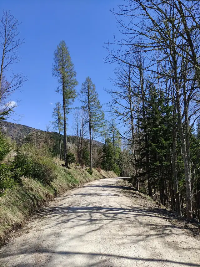
Luschasattel tops out at 1,315 m (4,314 ft) in Austria. It is the 41st highest of the 160 passes in Austria on the Motoseyir map. Below: the road surface, when it is usually closed, the passes around it and a loop you can ride over it.

At a glance
- Elevation
- 1,315 m (4,314 ft)
- Location
- Austria
- Road surface
- Unpaved (dirt or gravel)
- Winter
- No seasonal closure is recorded for this road in our data. High roads can still close after snow, so check before you go.
- Coordinates
- 46.5080, 14.7099
- Sources
- Wikipedia · OpenStreetMap
Elevation is the figure on the pass’s OpenStreetMap entry or its source page; the point is the summit on the road itself.
Ride a loop over Luschasattel
The web route planner opens with Luschasattel as the start point. Choose a direction, how long you want to ride and how twisty the roads should be, and it draws up to three round trips that come back to the pass. Send the one you like to your phone with a QR code and ride it in Motoseyir.
Passes near Luschasattel
- Paulitschsattel / Pavličevo sedlo 13 km SW · 1,338 m
- Seebergsattel / Jezerski vrh 17 km SW · 1,215 m
- Schaidasattel / Sedlo Šajda 19 km W · 1,068 m
- Volovljek 25 km S · 1,020 m
- Griffner Berg 25 km N · 708 m
- Črnivec 28 km S · 902 m
Luschasattel in the Motoseyir app
Luschasattel is on Motoseyir’s pass map with its altitude and exact location, along with 1,600+ passes in 36 countries. Add it to your tour and go.
If your route crosses a pass that may be closed this month, the app tells you before you set off, and Generate a tour skips closed passes. Passes you ride over are ticked off from your ride log automatically.
All passes in Austria → · All mountain passes →
Pass data: Motoseyir’s pass list, compiled from OpenStreetMap (© OpenStreetMap contributors, ODbL) and the source page linked above.